
Thank you for supporting this site ❤️
Make a donation
Make a donation
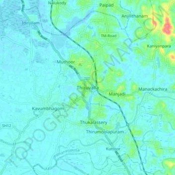
Thiruvalla topographic map
Click on the map to display elevation.
Thank you for supporting this site ❤️
Make a donation
Make a donation
Thiruvalla
Thiruvalla lies at an altitude of 14 meters above sea level, along the north bank of the Manimala river. Thiruvalla is criss-crossed by many natural canals (known as "thodu" in Malayalam) like Chanthathodu and Manippuzha.
Thank you for supporting this site ❤️
Make a donation
Make a donation
About this map
Name: Thiruvalla topographic map, elevation, terrain.
Location: Thiruvalla, Pathanamthitta, Kerala, 689111, India (9.34674 76.53627 9.42674 76.61627)
Average elevation: 10 m
Minimum elevation: -1 m
Maximum elevation: 74 m
Thank you for supporting this site ❤️
Make a donation
Make a donation
Other topographic maps
Click on a map to view its topography, its elevation and its terrain.