
Thank you for supporting this site ❤️
Make a donation
Make a donation
Bush topographic map
Click on the map to display elevation.
Thank you for supporting this site ❤️
Make a donation
Make a donation
About this map
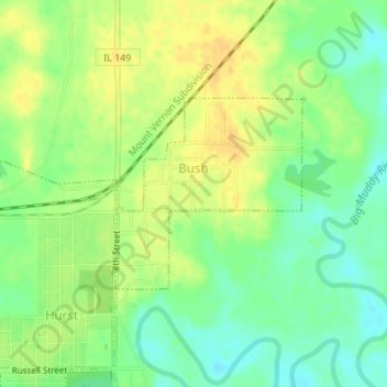
Name: Bush topographic map, elevation, terrain.
Location: Bush, Williamson County, Illinois, United States (37.83491 -89.13812 37.84828 -89.12155)
Average elevation: 119 m
Minimum elevation: 105 m
Maximum elevation: 131 m
Thank you for supporting this site ❤️
Make a donation
Make a donation
Other topographic maps
Click on a map to view its topography, its elevation and its terrain.