
Thank you for supporting this site ❤️
Make a donation
Make a donation
Abena topographic map
Click on the map to display elevation.
Thank you for supporting this site ❤️
Make a donation
Make a donation
About this map
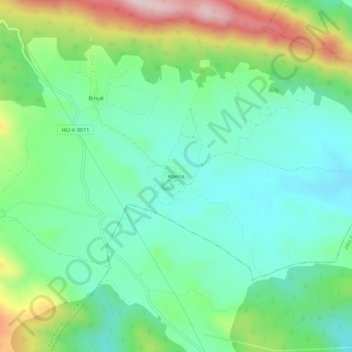
Name: Abena topographic map, elevation, terrain.
Location: Abena, Jaca, La Jacetania, Huesca, Aragón, 22620, España (42.47865 -0.45875 42.51865 -0.41875)
Average elevation: 920 m
Minimum elevation: 808 m
Maximum elevation: 1,180 m
Thank you for supporting this site ❤️
Make a donation
Make a donation
Other topographic maps
Click on a map to view its topography, its elevation and its terrain.