
Thank you for supporting this site ❤️
Make a donation
Make a donation
Kagoye topographic map
Click on the map to display elevation.
Thank you for supporting this site ❤️
Make a donation
Make a donation
About this map
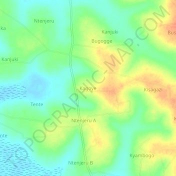
Name: Kagoye topographic map, elevation, terrain.
Location: Kagoye, Kayunga, Central Region, Uganda (0.71703 32.87497 0.75703 32.91497)
Average elevation: 1,077 m
Minimum elevation: 1,058 m
Maximum elevation: 1,102 m
Thank you for supporting this site ❤️
Make a donation
Make a donation