
Thank you for supporting this site ❤️
Make a donation
Make a donation
Manjarín topographic map
Click on the map to display elevation.
Thank you for supporting this site ❤️
Make a donation
Make a donation
About this map
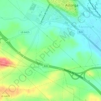
Name: Manjarín topographic map, elevation, terrain.
Location: Manjarín, Astorga, León, Castilla y León, 24700, España (42.43328 -6.07052 42.45328 -6.05052)
Average elevation: 860 m
Minimum elevation: 837 m
Maximum elevation: 904 m
Thank you for supporting this site ❤️
Make a donation
Make a donation