
Thank you for supporting this site ❤️
Make a donation
Make a donation
Tungan Kogoro topographic map
Click on the map to display elevation.
Thank you for supporting this site ❤️
Make a donation
Make a donation
About this map
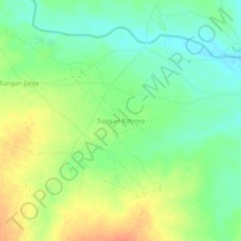
Name: Tungan Kogoro topographic map, elevation, terrain.
Location: Tungan Kogoro, Gebbe, Shanga, Kebbi State, Nigeria (10.95543 4.56646 10.99543 4.60646)
Average elevation: 160 m
Minimum elevation: 141 m
Maximum elevation: 185 m
Thank you for supporting this site ❤️
Make a donation
Make a donation