
Thank you for supporting this site ❤️
Make a donation
Make a donation
Liberty Township topographic map
Click on the map to display elevation.
Thank you for supporting this site ❤️
Make a donation
Make a donation
About this map
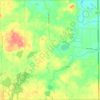
Name: Liberty Township topographic map, elevation, terrain.
Location: Liberty Township, Jackson County, Michigan, United States (42.07285 -84.48047 42.16068 -84.36339)
Average elevation: 315 m
Minimum elevation: 283 m
Maximum elevation: 358 m
Thank you for supporting this site ❤️
Make a donation
Make a donation