
Bray topographic map
Click on the map to display elevation.
About this map
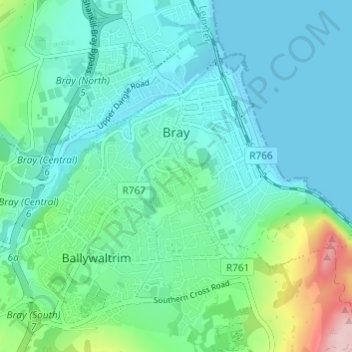
Name: Bray topographic map, elevation, terrain.
Location: Bray, County Wicklow, Leinster, Ireland (53.17885 -6.13835 53.21506 -6.08940)
Average elevation: 42 m
Minimum elevation: 0 m
Maximum elevation: 213 m