
肇东市 topographic map
Interactive map
Click on the map to display elevation.
About this map
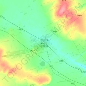
Name: 肇东市 topographic map, elevation, terrain.
Location: 肇东市, 正阳区办事处, 肇东市, 绥化市, 黑龙江省, 中国 (45.91223 125.82634 46.23223 126.14634)
Average elevation: 153 m
Minimum elevation: 129 m
Maximum elevation: 209 m