
Thank you for supporting this site ❤️
Make a donation
Make a donation
Coot Bay topographic map
Click on the map to display elevation.
Thank you for supporting this site ❤️
Make a donation
Make a donation
About this map
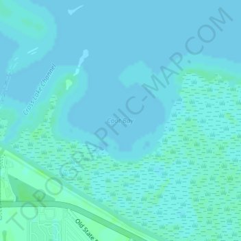
Name: Coot Bay topographic map, elevation, terrain.
Location: Coot Bay, Hendry County, Florida, United States (26.76363 -80.90345 26.76373 -80.90335)
Average elevation: 4 m
Minimum elevation: 2 m
Maximum elevation: 9 m
Thank you for supporting this site ❤️
Make a donation
Make a donation
Other topographic maps
Click on a map to view its topography, its elevation and its terrain.