
Thank you for supporting this site ❤️
Make a donation
Make a donation
Newcastle topographic map
Click on the map to display elevation.
Thank you for supporting this site ❤️
Make a donation
Make a donation
About this map
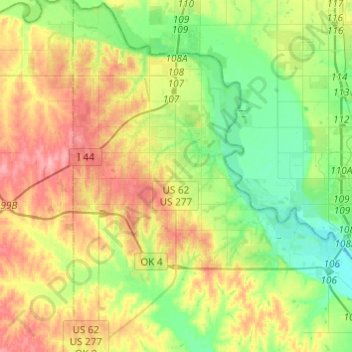
Name: Newcastle topographic map, elevation, terrain.
Location: Newcastle, McClain County, Oklahoma, 73065, United States (35.13514 -97.67098 35.33357 -97.48445)
Average elevation: 373 m
Minimum elevation: 332 m
Maximum elevation: 432 m
Thank you for supporting this site ❤️
Make a donation
Make a donation