
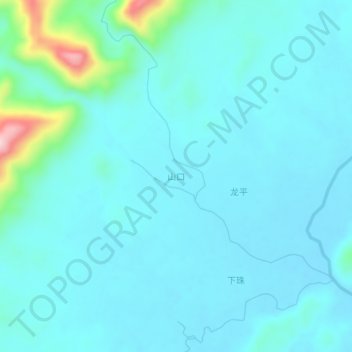
山口 topographic map
Interactive map
Click on the map to display elevation.
About this map
Name: 山口 topographic map, elevation, terrain.
Location: 山口, 龙岸镇, 罗城仫佬族自治县, 河池市, 广西壮族自治区, 中国 (25.03625 108.94949 25.07625 108.98949)
Average elevation: 165 m
Minimum elevation: 132 m
Maximum elevation: 389 m
Other topographic maps
Click on a map to view its topography, its elevation and its terrain.