
Thank you for supporting this site ❤️
Make a donation
Make a donation
Westville Center topographic map
Click on the map to display elevation.
Thank you for supporting this site ❤️
Make a donation
Make a donation
About this map
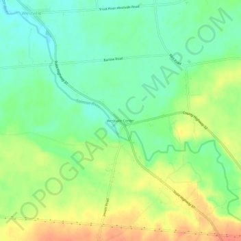
Name: Westville Center topographic map, elevation, terrain.
Location: Westville Center, Franklin County, New York, United States (44.92477 -74.41602 44.96477 -74.37602)
Average elevation: 75 m
Minimum elevation: 54 m
Maximum elevation: 103 m
Thank you for supporting this site ❤️
Make a donation
Make a donation