
Hayward topographic map
Interactive map
Click on the map to display elevation.
About this map
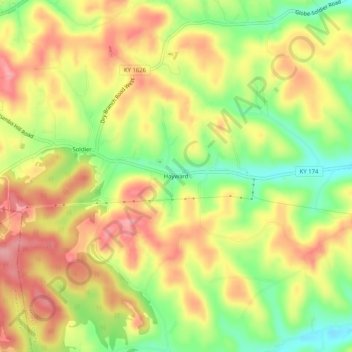
Name: Hayward topographic map, elevation, terrain.
Location: Hayward, Carter County, Kentucky, 41173, United States (38.23619 -83.30574 38.27619 -83.26574)
Average elevation: 319 m
Minimum elevation: 257 m
Maximum elevation: 371 m