
Thank you for supporting this site ❤️
Make a donation
Make a donation
Hanol topographic map
Click on the map to display elevation.
Thank you for supporting this site ❤️
Make a donation
Make a donation
About this map
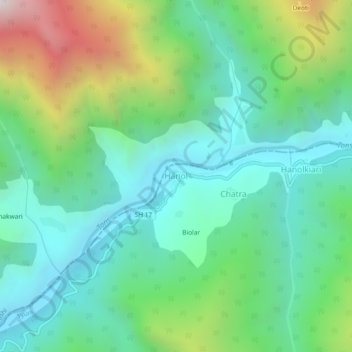
Name: Hanol topographic map, elevation, terrain.
Location: Hanol, Tyuni, Dehradun, Uttarakhand, India (30.95078 77.90774 30.99078 77.94774)
Average elevation: 1,429 m
Minimum elevation: 990 m
Maximum elevation: 2,555 m
Thank you for supporting this site ❤️
Make a donation
Make a donation