
Thank you for supporting this site ❤️
Make a donation
Make a donation
Peña Prieta topographic map
Click on the map to display elevation.
Thank you for supporting this site ❤️
Make a donation
Make a donation
About this map
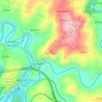
Name: Peña Prieta topographic map, elevation, terrain.
Location: Peña Prieta, Las Regueras, Asturias, 33190, España (43.37735 -5.95273 43.37745 -5.95263)
Average elevation: 156 m
Minimum elevation: 60 m
Maximum elevation: 292 m
Thank you for supporting this site ❤️
Make a donation
Make a donation