
Thank you for supporting this site ❤️
Make a donation
Make a donation
Madison Heights topographic map
Click on the map to display elevation.
Thank you for supporting this site ❤️
Make a donation
Make a donation
About this map
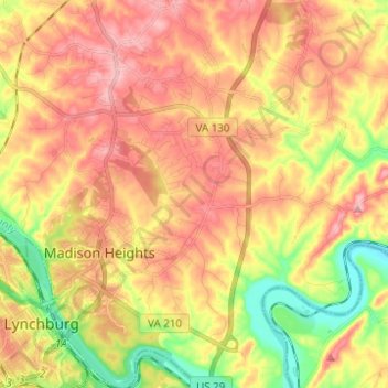
Name: Madison Heights topographic map, elevation, terrain.
Location: Madison Heights, Amherst County, Virginia, United States (37.39735 -79.15037 37.49531 -79.04586)
Average elevation: 220 m
Minimum elevation: 137 m
Maximum elevation: 285 m
Thank you for supporting this site ❤️
Make a donation
Make a donation