
Thank you for supporting this site ❤️
Make a donation
Make a donation
Hohenfeld topographic map
Click on the map to display elevation.
Thank you for supporting this site ❤️
Make a donation
Make a donation
About this map
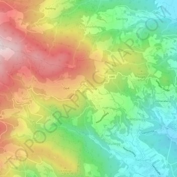
Name: Hohenfeld topographic map, elevation, terrain.
Location: Hohenfeld, Bezirk Deutschlandsberg, Styria, 8524, Austria (46.86596 15.18496 46.90596 15.22496)
Average elevation: 639 m
Minimum elevation: 366 m
Maximum elevation: 991 m
Thank you for supporting this site ❤️
Make a donation
Make a donation