
Thank you for supporting this site ❤️
Make a donation
Make a donation
Shawan topographic map
Click on the map to display elevation.
Thank you for supporting this site ❤️
Make a donation
Make a donation
About this map
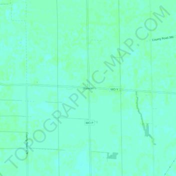
Name: Shawan topographic map, elevation, terrain.
Location: Shawan, Stoddard County, Missouri, 63735, United States (36.94380 -89.79991 36.98380 -89.75991)
Average elevation: 94 m
Minimum elevation: 91 m
Maximum elevation: 96 m
Thank you for supporting this site ❤️
Make a donation
Make a donation
Other topographic maps
Click on a map to view its topography, its elevation and its terrain.