
Silver City topographic map
Interactive map
Click on the map to display elevation.
About this map
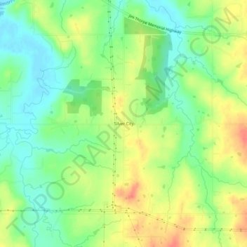
Name: Silver City topographic map, elevation, terrain.
Location: Silver City, Creek County, Oklahoma, United States (36.07035 -96.51446 36.11035 -96.47446)
Average elevation: 249 m
Minimum elevation: 225 m
Maximum elevation: 278 m