
Thank you for supporting this site ❤️
Make a donation
Make a donation
Matacuervos topographic map
Click on the map to display elevation.
Thank you for supporting this site ❤️
Make a donation
Make a donation
About this map
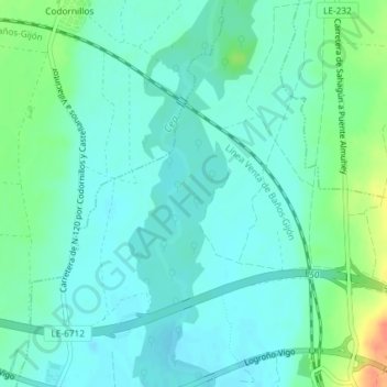
Name: Matacuervos topographic map, elevation, terrain.
Location: Matacuervos, Sahagún, León, Castilla y León, 24320, España (42.37985 -5.05220 42.39985 -5.03220)
Average elevation: 813 m
Minimum elevation: 801 m
Maximum elevation: 848 m
Thank you for supporting this site ❤️
Make a donation
Make a donation