
Thank you for supporting this site ❤️
Make a donation
Make a donation
Damme topographic map
Click on the map to display elevation.
Thank you for supporting this site ❤️
Make a donation
Make a donation
About this map
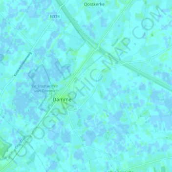
Name: Damme topographic map, elevation, terrain.
Location: Damme, Brugge, West Flanders, 8340, Belgium (51.22329 3.25971 51.27888 3.33429)
Average elevation: 1 m
Minimum elevation: -2 m
Maximum elevation: 6 m
Thank you for supporting this site ❤️
Make a donation
Make a donation
Other topographic maps
Click on a map to view its topography, its elevation and its terrain.