
Thank you for supporting this site ❤️
Make a donation
Make a donation
Eagle Rock topographic map
Click on the map to display elevation.
Thank you for supporting this site ❤️
Make a donation
Make a donation
About this map
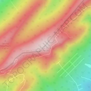
Name: Eagle Rock topographic map, elevation, terrain.
Location: Eagle Rock, Frederick County, Virginia, 22654, United States (39.11502 -78.45797 39.11512 -78.45787)
Average elevation: 602 m
Minimum elevation: 333 m
Maximum elevation: 783 m
Thank you for supporting this site ❤️
Make a donation
Make a donation