
Thank you for supporting this site ❤️
Make a donation
Make a donation
Tecumseh Township topographic map
Click on the map to display elevation.
Thank you for supporting this site ❤️
Make a donation
Make a donation
About this map
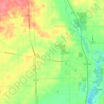
Name: Tecumseh Township topographic map, elevation, terrain.
Location: Tecumseh Township, Lenawee County, Michigan, United States (41.99110 -84.00635 42.03738 -83.88608)
Average elevation: 257 m
Minimum elevation: 222 m
Maximum elevation: 299 m
Thank you for supporting this site ❤️
Make a donation
Make a donation
Other topographic maps
Click on a map to view its topography, its elevation and its terrain.