
Thank you for supporting this site ❤️
Make a donation
Make a donation
Wolf Lake topographic map
Click on the map to display elevation.
Thank you for supporting this site ❤️
Make a donation
Make a donation
About this map
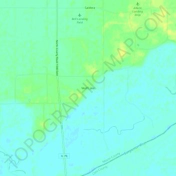
Name: Wolf Lake topographic map, elevation, terrain.
Location: Wolf Lake, Mason County, Illinois, 62627, United States (40.06671 -90.16540 40.10671 -90.12540)
Average elevation: 141 m
Minimum elevation: 135 m
Maximum elevation: 152 m
Thank you for supporting this site ❤️
Make a donation
Make a donation
Other topographic maps
Click on a map to view its topography, its elevation and its terrain.