
Thank you for supporting this site ❤️
Make a donation
Make a donation
Tanjung Pinang topographic map
Click on the map to display elevation.
Thank you for supporting this site ❤️
Make a donation
Make a donation
About this map
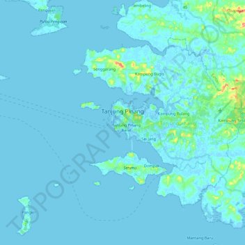
Name: Tanjung Pinang topographic map, elevation, terrain.
Location: Tanjung Pinang, Riau Islands, Indonesia (0.83859 104.33632 0.98756 104.55183)
Average elevation: 5 m
Minimum elevation: -4 m
Maximum elevation: 80 m
Thank you for supporting this site ❤️
Make a donation
Make a donation