
Thank you for supporting this site ❤️
Make a donation
Make a donation
Betws topographic map
Click on the map to display elevation.
Thank you for supporting this site ❤️
Make a donation
Make a donation
About this map
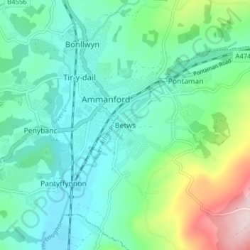
Name: Betws topographic map, elevation, terrain.
Location: Betws, Carmarthenshire, Wales, SA18 2HB, United Kingdom (51.76845 -4.00377 51.80845 -3.96377)
Average elevation: 87 m
Minimum elevation: 13 m
Maximum elevation: 322 m
Thank you for supporting this site ❤️
Make a donation
Make a donation