
Thank you for supporting this site ❤️
Make a donation
Make a donation
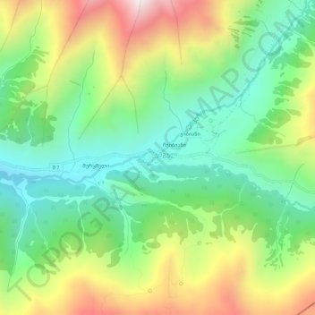
Chazhashi topographic map
Click on the map to display elevation.
Thank you for supporting this site ❤️
Make a donation
Make a donation
Chazhashi
Chazhashi (Georgian: ჩაჟაში) is a village in the Mestia Municipality, Samegrelo-Zemo Svaneti, Georgia. It is located in the southern foothills of the Greater Caucasus mountains, in the upper Enguri River valley, at the elevation of 2,160 m above sea level. The village is part of the historical region of Svaneti and center of the Ushguli community. Its medieval fortified structures are inscribed on the registry of Georgia's Immovable Cultural Monuments of National Significance and listed as a UNESCO World Heritage Site as part of the Upper Svaneti entity.
Thank you for supporting this site ❤️
Make a donation
Make a donation
About this map
Name: Chazhashi topographic map, elevation, terrain.
Average elevation: 2,405 m
Minimum elevation: 1,987 m
Maximum elevation: 3,082 m
Thank you for supporting this site ❤️
Make a donation
Make a donation