
Thank you for supporting this site ❤️
Make a donation
Make a donation
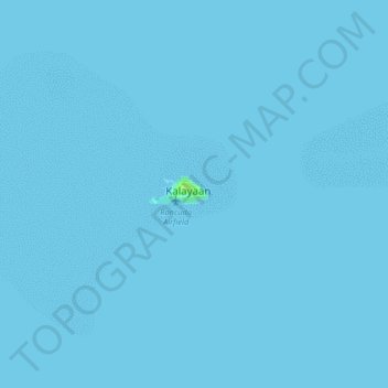
Kalayaan topographic map
Click on the map to display elevation.
Thank you for supporting this site ❤️
Make a donation
Make a donation
Kalayaan
The islets that comprise the municipality are generally flat. The highest ground elevation is approximately two meters above sea level.
Thank you for supporting this site ❤️
Make a donation
Make a donation
About this map
Name: Kalayaan topographic map, elevation, terrain.
Location: Kalayaan, Palawan, Mimaropa, 5322, Philippines (11.01354 114.24517 11.09354 114.32517)
Average elevation: 0 m
Minimum elevation: 0 m
Maximum elevation: 8 m
Thank you for supporting this site ❤️
Make a donation
Make a donation