
Thank you for supporting this site ❤️
Make a donation
Make a donation
Dhana topographic map
Click on the map to display elevation.
Thank you for supporting this site ❤️
Make a donation
Make a donation
About this map
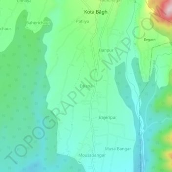
Name: Dhana topographic map, elevation, terrain.
Location: Dhana, Kaladhungi, Nainital, Uttarakhand, India (29.33917 79.29695 29.37917 79.33695)
Average elevation: 571 m
Minimum elevation: 485 m
Maximum elevation: 845 m
Thank you for supporting this site ❤️
Make a donation
Make a donation