
Thank you for supporting this site ❤️
Make a donation
Make a donation
Casa Cola topographic map
Click on the map to display elevation.
Thank you for supporting this site ❤️
Make a donation
Make a donation
About this map
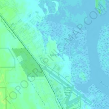
Name: Casa Cola topographic map, elevation, terrain.
Location: Casa Cola, Saint Johns County, Florida, 32095, United States (29.95219 -81.36619 29.99219 -81.32619)
Average elevation: 3 m
Minimum elevation: -3 m
Maximum elevation: 12 m
Thank you for supporting this site ❤️
Make a donation
Make a donation