
Thank you for supporting this site ❤️
Make a donation
Make a donation
Kutasari topographic map
Click on the map to display elevation.
Thank you for supporting this site ❤️
Make a donation
Make a donation
About this map
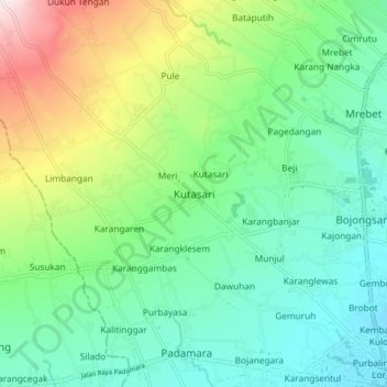
Name: Kutasari topographic map, elevation, terrain.
Location: Kutasari, Purbalingga, Central Java, Java, 53362, Indonesia (-7.38883 109.27977 -7.30883 109.35977)
Average elevation: 197 m
Minimum elevation: 55 m
Maximum elevation: 545 m
Thank you for supporting this site ❤️
Make a donation
Make a donation
Other topographic maps
Click on a map to view its topography, its elevation and its terrain.