
吕田镇 topographic map
Interactive map
Click on the map to display elevation.
About this map
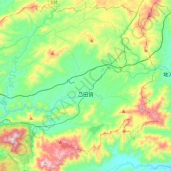
Name: 吕田镇 topographic map, elevation, terrain.
Location: 吕田镇, 从化区, 广州市, 广东省, 中国 (23.71800 113.80330 23.93599 114.05530)
Average elevation: 410 m
Minimum elevation: 102 m
Maximum elevation: 1,129 m
Other topographic maps
Click on a map to view its topography, its elevation and its terrain.