
Thank you for supporting this site ❤️
Make a donation
Make a donation
Bandan Hurip topographic map
Click on the map to display elevation.
Thank you for supporting this site ❤️
Make a donation
Make a donation
About this map
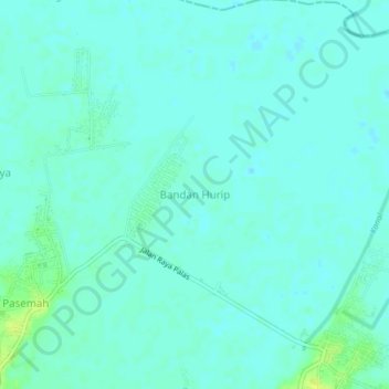
Name: Bandan Hurip topographic map, elevation, terrain.
Location: Bandan Hurip, Lampung Selatan, Lampung, Sumatra, Indonesia (-5.63139 105.68907 -5.59139 105.72907)
Average elevation: 4 m
Minimum elevation: -1 m
Maximum elevation: 16 m
Thank you for supporting this site ❤️
Make a donation
Make a donation
Other topographic maps
Click on a map to view its topography, its elevation and its terrain.