
Thank you for supporting this site ❤️
Make a donation
Make a donation
Lokore Nasinyon topographic map
Click on the map to display elevation.
Thank you for supporting this site ❤️
Make a donation
Make a donation
About this map
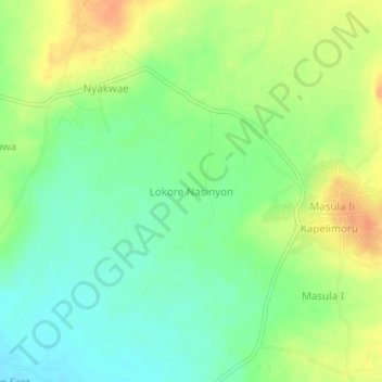
Name: Lokore Nasinyon topographic map, elevation, terrain.
Location: Lokore Nasinyon, Kotido, Northern Region, Uganda (2.98921 34.16558 3.02921 34.20558)
Average elevation: 1,259 m
Minimum elevation: 1,242 m
Maximum elevation: 1,280 m
Thank you for supporting this site ❤️
Make a donation
Make a donation