
Thank you for supporting this site ❤️
Make a donation
Make a donation
Grayson topographic map
Click on the map to display elevation.
Thank you for supporting this site ❤️
Make a donation
Make a donation
About this map
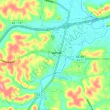
Name: Grayson topographic map, elevation, terrain.
Location: Grayson, Carter County, Kentucky, United States (38.31394 -82.96283 38.34918 -82.89834)
Average elevation: 208 m
Minimum elevation: 170 m
Maximum elevation: 279 m
Thank you for supporting this site ❤️
Make a donation
Make a donation
Other topographic maps
Click on a map to view its topography, its elevation and its terrain.