
Thank you for supporting this site ❤️
Make a donation
Make a donation
Waskish topographic map
Click on the map to display elevation.
Thank you for supporting this site ❤️
Make a donation
Make a donation
About this map
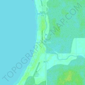
Name: Waskish topographic map, elevation, terrain.
Location: Waskish, Beltrami County, Minnesota, 56685, United States (48.14135 -94.53246 48.18135 -94.49246)
Average elevation: 359 m
Minimum elevation: 356 m
Maximum elevation: 367 m
Thank you for supporting this site ❤️
Make a donation
Make a donation
Other topographic maps
Click on a map to view its topography, its elevation and its terrain.
Big Bog State Recreation Area
United States > Minnesota > Beltrami County > Waskish
Average elevation: 359 m
Thank you for supporting this site ❤️
Make a donation
Make a donation