
Newfield topographic map
Click on the map to display elevation.
About this map
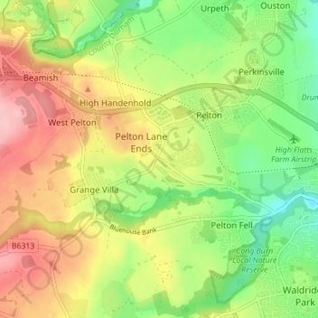
Name: Newfield topographic map, elevation, terrain.
Average elevation: 91 m
Minimum elevation: 20 m
Maximum elevation: 174 m
Other topographic maps
Click on a map to view its topography, its elevation and its terrain.
Waldridge Fell Country Park
United Kingdom > England > County Durham > Chester-le-Street > Pelton Fell > Waldridge
Average elevation: 92 m