
Thank you for supporting this site ❤️
Make a donation
Make a donation
Agadur topographic map
Click on the map to display elevation.
Thank you for supporting this site ❤️
Make a donation
Make a donation
About this map
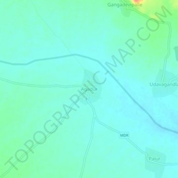
Name: Agadur topographic map, elevation, terrain.
Location: Agadur, Thonduru, YSR, Andhra Pradesh, 516401, India (14.51226 78.28151 14.55226 78.32151)
Average elevation: 209 m
Minimum elevation: 200 m
Maximum elevation: 245 m
Thank you for supporting this site ❤️
Make a donation
Make a donation