
Thank you for supporting this site ❤️
Make a donation
Make a donation
Kaljikhal topographic map
Click on the map to display elevation.
Thank you for supporting this site ❤️
Make a donation
Make a donation
About this map
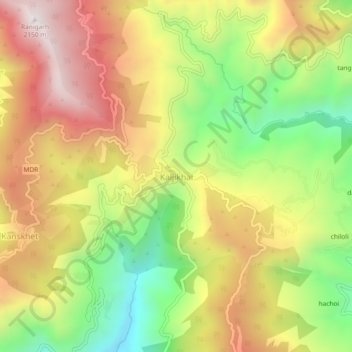
Name: Kaljikhal topographic map, elevation, terrain.
Location: Kaljikhal, Pauri, Pauri Garhwal, Uttarakhand, 246113, India (30.03035 78.71215 30.07035 78.75215)
Average elevation: 1,657 m
Minimum elevation: 1,195 m
Maximum elevation: 2,109 m
Thank you for supporting this site ❤️
Make a donation
Make a donation