
Thank you for supporting this site ❤️
Make a donation
Make a donation
Le Moyen topographic map
Click on the map to display elevation.
Thank you for supporting this site ❤️
Make a donation
Make a donation
About this map
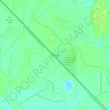
Name: Le Moyen topographic map, elevation, terrain.
Location: Le Moyen, St. Landry Parish, Louisiana, 71359, United States (30.76547 -92.06040 30.80547 -92.02040)
Average elevation: 12 m
Minimum elevation: 6 m
Maximum elevation: 17 m
Thank you for supporting this site ❤️
Make a donation
Make a donation
Other topographic maps
Click on a map to view its topography, its elevation and its terrain.
Thank you for supporting this site ❤️
Make a donation
Make a donation
Thank you for supporting this site ❤️
Make a donation
Make a donation