
Huben topographic map
Click on the map to display elevation.
About this map
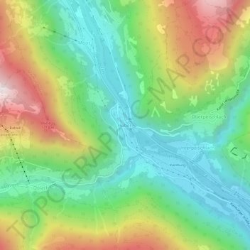
Name: Huben topographic map, elevation, terrain.
Location: Huben, Matrei in Osttirol, Bezirk Lienz, Tyrol, 9971, Austria (46.91352 12.55493 46.95352 12.59493)
Average elevation: 1,190 m
Minimum elevation: 772 m
Maximum elevation: 1,913 m