
Thank you for supporting this site ❤️
Make a donation
Make a donation
Kel. Mekarjaya topographic map
Click on the map to display elevation.
Thank you for supporting this site ❤️
Make a donation
Make a donation
About this map
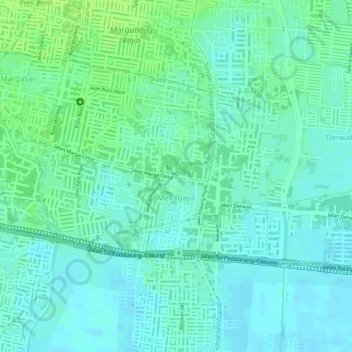
Name: Kel. Mekarjaya topographic map, elevation, terrain.
Location: Mekarjaya, Rancasari, Kel. Mekarjaya, West Java, Indonesia (-6.96812 107.65888 -6.95514 107.67767)
Average elevation: 667 m
Minimum elevation: 661 m
Maximum elevation: 675 m
Thank you for supporting this site ❤️
Make a donation
Make a donation
Other topographic maps
Click on a map to view its topography, its elevation and its terrain.