
Thank you for supporting this site ❤️
Make a donation
Make a donation
Jabal Duraysh topographic map
Click on the map to display elevation.
Thank you for supporting this site ❤️
Make a donation
Make a donation
About this map
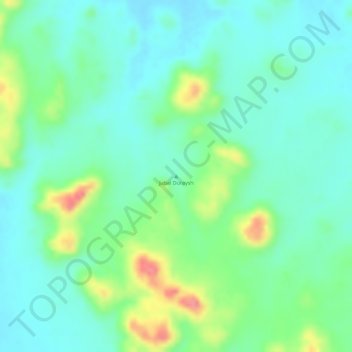
Name: Jabal Duraysh topographic map, elevation, terrain.
Location: Jabal Duraysh, Northern State, Sudan (17.49995 32.06662 17.50005 32.06672)
Average elevation: 405 m
Minimum elevation: 379 m
Maximum elevation: 461 m
Thank you for supporting this site ❤️
Make a donation
Make a donation
Other topographic maps
Click on a map to view its topography, its elevation and its terrain.