
Ngorongoro Ward topographic map
Interactive map
Click on the map to display elevation.
About this map
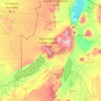
Name: Ngorongoro Ward topographic map, elevation, terrain.
Location: Ngorongoro Ward, Ngorongoro, Arusha, Northern Zone, Tanzania (-4.22532 34.46895 -2.22532 36.46895)
Average elevation: 1,437 m
Minimum elevation: 594 m
Maximum elevation: 3,588 m
Other topographic maps
Click on a map to view its topography, its elevation and its terrain.