
Thank you for supporting this site ❤️
Make a donation
Make a donation
Sonora Pass topographic map
Click on the map to display elevation.
Thank you for supporting this site ❤️
Make a donation
Make a donation
About this map
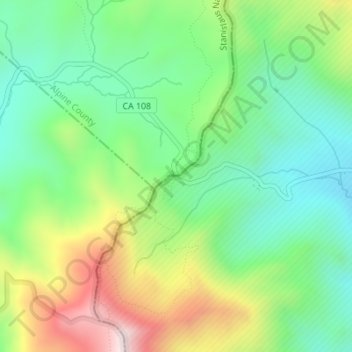
Name: Sonora Pass topographic map, elevation, terrain.
Location: Sonora Pass, Mono County, California, United States (38.32788 -119.63724 38.32798 -119.63714)
Average elevation: 2,969 m
Minimum elevation: 2,752 m
Maximum elevation: 3,363 m
Thank you for supporting this site ❤️
Make a donation
Make a donation
Other topographic maps
Click on a map to view its topography, its elevation and its terrain.
Mono Lake
United States > California > Mono County
Lake Russell was the prehistoric predecessor to Mono Lake, during the Pleistocene. Its shoreline reached the modern-day elevation of 7,480 feet (2,280 m), about 1,100 feet (330 m) higher than the present-day lake. As of 1.6 million years ago, Lake Russell discharged to the northeast, into the Walker River…
Average elevation: 2,008 m
Thank you for supporting this site ❤️
Make a donation
Make a donation
Thank you for supporting this site ❤️
Make a donation
Make a donation