
Thank you for supporting this site ❤️
Make a donation
Make a donation
Ngemplak topographic map
Click on the map to display elevation.
Thank you for supporting this site ❤️
Make a donation
Make a donation
About this map
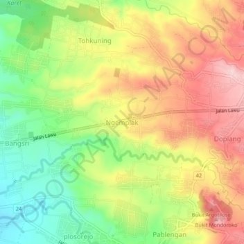
Name: Ngemplak topographic map, elevation, terrain.
Location: Ngemplak, Karanganyar, Central Java, Java, 57781, Indonesia (-7.63742 111.02496 -7.59742 111.06496)
Average elevation: 439 m
Minimum elevation: 331 m
Maximum elevation: 546 m
Thank you for supporting this site ❤️
Make a donation
Make a donation