
Thank you for supporting this site ❤️
Make a donation
Make a donation
Lake View topographic map
Click on the map to display elevation.
Thank you for supporting this site ❤️
Make a donation
Make a donation
About this map
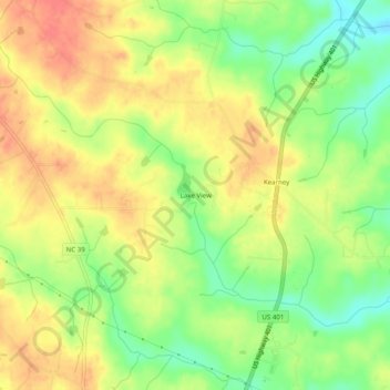
Name: Lake View topographic map, elevation, terrain.
Location: Lake View, Franklin County, North Carolina, United States (36.20320 -78.30361 36.24320 -78.26361)
Average elevation: 113 m
Minimum elevation: 82 m
Maximum elevation: 137 m
Thank you for supporting this site ❤️
Make a donation
Make a donation