
Thank you for supporting this site ❤️
Make a donation
Make a donation
Linwood Bay topographic map
Click on the map to display elevation.
Thank you for supporting this site ❤️
Make a donation
Make a donation
About this map
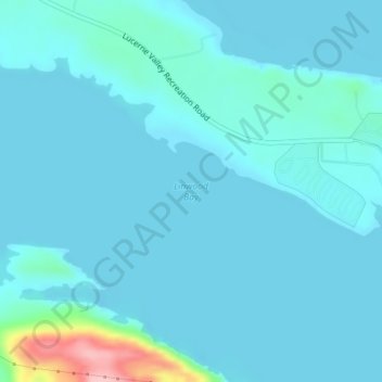
Name: Linwood Bay topographic map, elevation, terrain.
Location: Linwood Bay, Daggett County, Utah, United States (40.98324 -109.60409 40.98334 -109.60399)
Average elevation: 1,852 m
Minimum elevation: 1,835 m
Maximum elevation: 1,998 m
Thank you for supporting this site ❤️
Make a donation
Make a donation
Other topographic maps
Click on a map to view its topography, its elevation and its terrain.