
Thank you for supporting this site ❤️
Make a donation
Make a donation
Draketown topographic map
Click on the map to display elevation.
Thank you for supporting this site ❤️
Make a donation
Make a donation
About this map
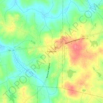
Name: Draketown topographic map, elevation, terrain.
Location: Draketown, Haralson County, Georgia, 30179, United States (33.80609 -85.06289 33.84609 -85.02289)
Average elevation: 364 m
Minimum elevation: 333 m
Maximum elevation: 405 m
Thank you for supporting this site ❤️
Make a donation
Make a donation
Other topographic maps
Click on a map to view its topography, its elevation and its terrain.